Day 1: Arrive Kathmandu
Our team will meet you at Kathmandu airport and transfer to your hotel. Later you will attend a pre-trek meeting with tour lead guide to brief you about the trekking ahead.
Day 2: Drive To Besi Sahar, Trek to Bhulbhule
- Elevation: 1300m – 840m – 970m
- Drive time: 6 hrs
- Trek time: 3-4 hrs
Trek starts by driving along the Kathmandu-Pokhara Highway to Dumre, after which we follow the bumpy road along the Marshyangdi River. 6 hours later we will reach Besisahar, the capital of Lamjung District, which is a starting point of our trek. Our trek will begin by following the path to Pam Khola, and from there we climb to village of Denauti. Our final destination today is Gurung village of Bhulbhule.
Day 3: Trek to Jagat
- Elevation: 970m – 1300m
- Time: 6-7 hrs
We will follow the steep trail from Bhulbhule before crossing a stream, and then climbs again and before we reach the village of Hani Gaon. Following the mountain path through Syange, the trail then climbs some 200-300m above the river. Final descend is to the stone village of Jagat, where we rest for the day.
Day 4: Trek to Bagarchap
- Elevation: 1300m – 2160m
- Time 6-7 hrs
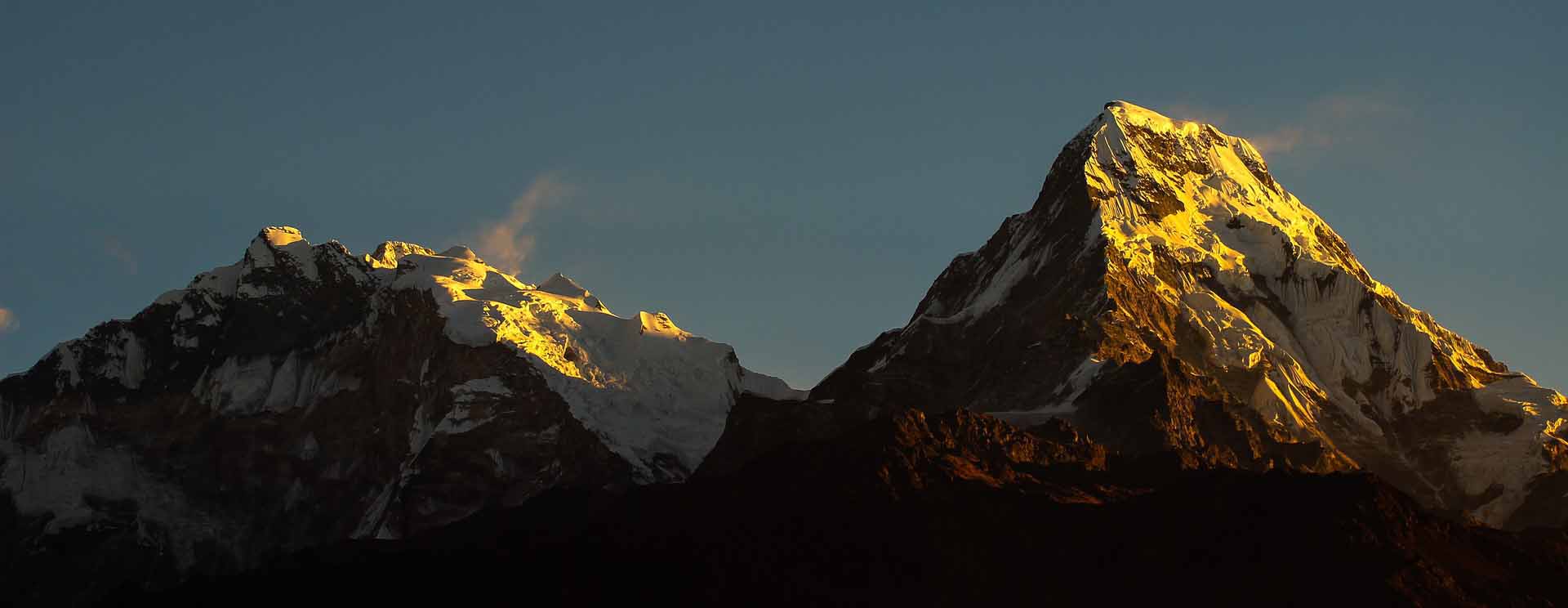
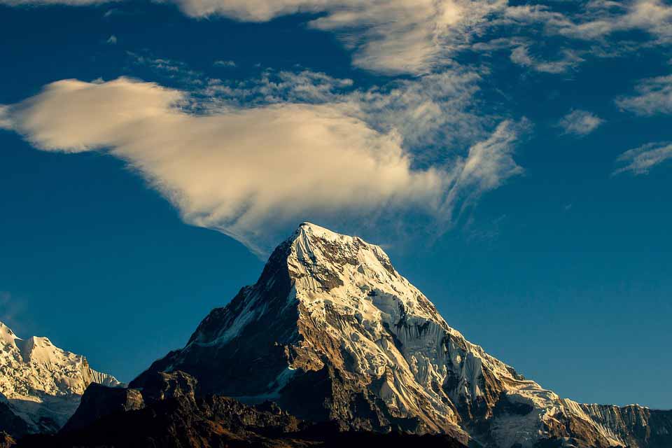
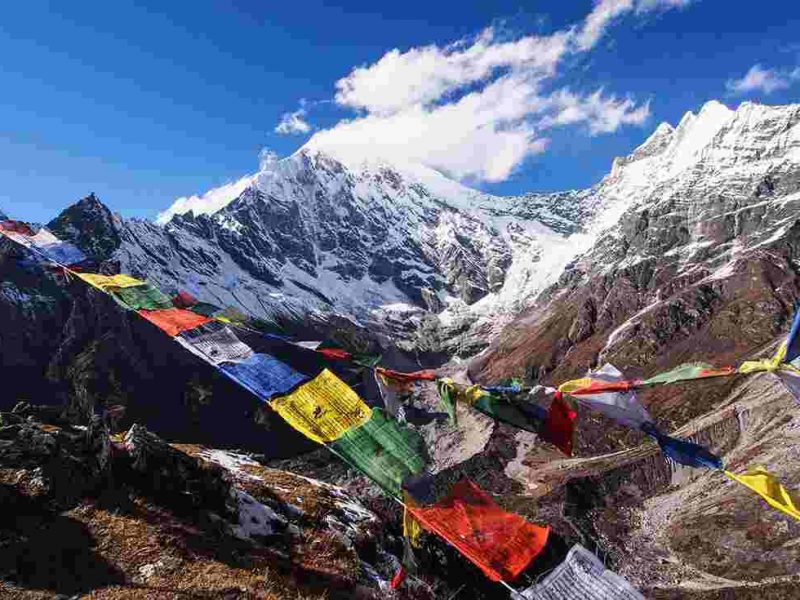
From Jagat we will descend to the river and then through a lush forest until we reach suspension bridge. After crossing, we climb the path to Sattale and then to Tal, and by passing the village of Karte and Dharepani we finally reach Bagarchap. Here the Annapurna II appears visible from this Bhotia village decorated by colourful prayer flags.
Day 5: Trek to Chame
- Elevation: 2160m – 2710m
- Time: 5-6 hrs
Today we continue ascending through forests, passing Dhanakyu on the way and reach large waterfall. Marshyangdi River enters a gorge , we follow steady rising pathand enter the hamlet of Kotho, from where you can have great view of Annapurna II. We will walk through large white gate with a corrugated iron roof, and that is the entrance of Chame, the administrative headquarters of Manang district. Here you can find electricity, a wireless station, schools, shops, health post, post office, police check post, hotels, lodges and banks in Chame. The major attraction of this area are hot springs.
Day 6: Trek to Pisang
- Elevation: 2710m – 3310m
- Time: 5-6 hrs
Today we cross Pisang, large suspension bridge over the Marshyangdi. Our trail leads us to forested village Bratang, after which the valley changes from a V-shape to a gentle U-shape. As we continue up the trails on the south side and cross a long suspension bridge we get to view Paungda Danda, which rises more than 1500 metres above the river. We will cross one final bridge and enter the village of Pisang.
Day 7: Trek to Manang
- Elevation: 3310m – 3540m
- Time: 6-7 hrs
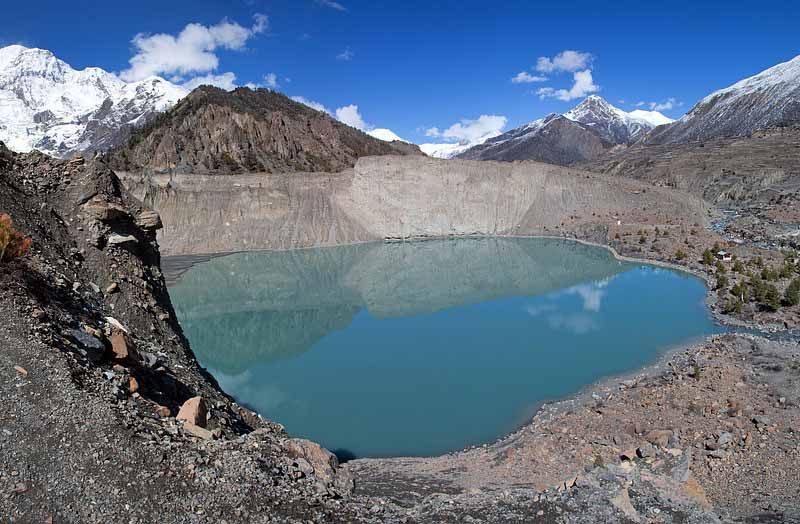
Our trek today starts with wonderful views of the Manang valley and the Tilicho peak along the way.
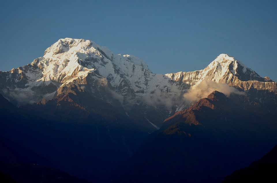
After descend through Manang’s airstrip we will reach Hongde, situated beneath Annapurna III on the north-east side. While crossing the wide plain of the Sabje Khola Valley you will get the views of Annapurna IV (7525m). Further we cross a wooden bridge, and enter the village of Mungji, and after a while arrive at the village of Bryaga which has a lovely monastery. On trekking down to Manang, we get more views of the Annapurna range – Annapurna II, Annapurna III, Annapurna IV, Gangapurna (7455m) and Tilicho Peak (7134m).
Day 8: Acclimatisation Day at Manang
- Elevation: 3540m – 3800m – 3450m
- Time: 4 hrs
This is a day for rest and acclimatization.
Day 9: Trek to Letdar
- Elevation: 3450m – 4250m
- Time: 4-5 hrs
From Manang we cross Tengi, and then ascend past Marshyangdi Valley, as we reach the small village of Gunsang, at 3960 meters. The path will lead us along a large stream that flows from Chulu Youst and Gunsang to Letdar.
Day 10: Trek to Thorung High Camp
- Elevation: 4250m – 4850m
- Time: 4-5 hrs
After Letdar, we descend to Marshyangdi and crossing it by covered wooden bridge. After a short ascent up the mountain path, we follow a narrow trail and descend to Thorung High Camp.
Day 11: Cross Thorung La and Trek to Muktinath
- Elevation: 4850m – 5416m – 3800m
- Time: 7-8 hrs
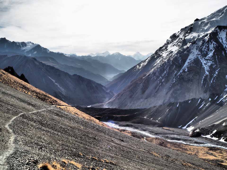
After early start we cross Thorung La (5416m), from where the trail becomes steep as we leave camp, and after 4 hours of steady climb, we will reach the prayer flags of the pass. Enjoying the views of snow-covered mountains above, Kali Gandaki valley below and the hills of Mustang, we descent to Muktinath. Finally, after pleasant walk along the Jhong Khola Valley we reach Muktinath, with its shrines and temple.
Day 12: Trek to Jomsom
- Elevation: 3800m – 2713m
- Time: 6-7 hrs
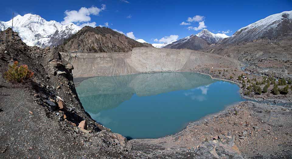
We begin descend down the Kali Gandaki valley, and after passing through Jharkot and Khingar, we are on our way to Jomsom. Jomsom is a large town situated along both banks of the Kali Gandaki River, and here we will spend the final night of our trek.
Day 13: Flight to Kathmandu Via Pokhara
We take an early morning flight from Jomsom to Pokhara. This is a splendid flight along the Kali Gandaki Gorge and gives marvelous views of both the Dhaulagiri and Annapurna ranges. Further on, we catch flight back to Kathmandu.
Day 14: Depart Kathmandu
You will be collected from your hotel and transferred to Kathmandu Airport for departing flight.


